30/10/24
We really didn’t want to leave. This was a comfy place and we could probably stay another night though we agreed it would be a little boring and indulgent. Besides we had more things to see than just binge watching The Lincoln Lawyer in some fancy apartment. Wilderness awaited.
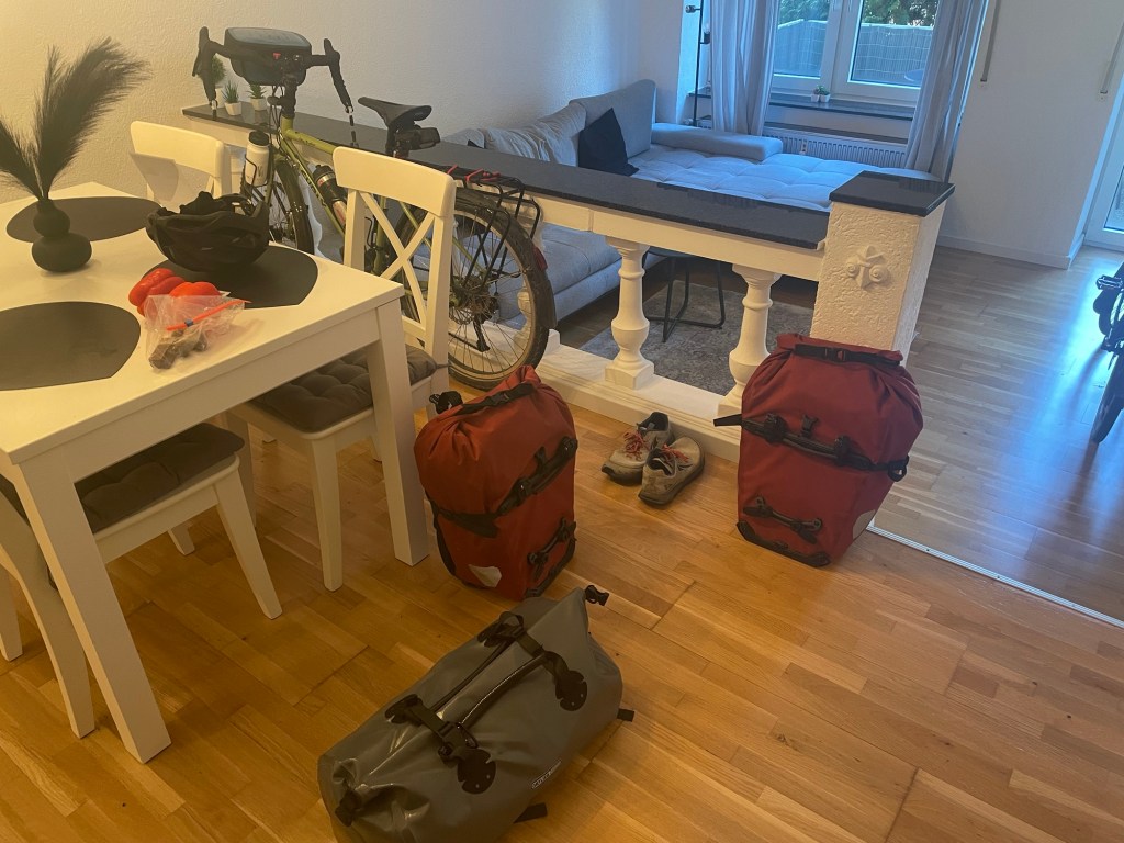
We didn’t rush, though we had to be checked out by 10. There wasn’t too much to do, just pack the food and take out the rubbish. A big downside of staying in accomodation is the lack of separation for waste disposal. It’s a big problem when travelling at all to be honest. When cycling we are constantly having to use general purpose bins as that’s what’s provided.
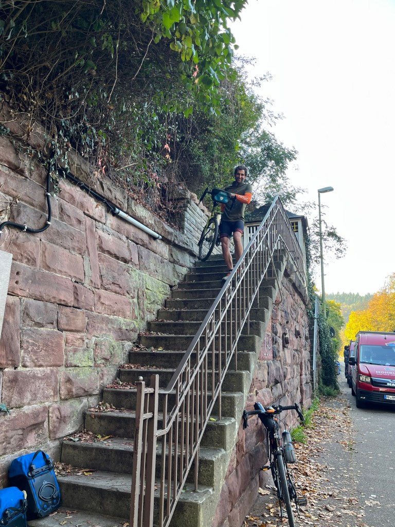
We lugged everything back down the stairs. It was weird to be back riding again. We’d also finally discovered the bad drivers of Germany. Some places are definitely not as good as others. As you can usually ride on the pavement in Germany, it’s unacceptable to some drivers to be on the road. We’re normally too slow to worry about being on the pavement but not all surfaces and obstacles are viable on a loaded tour bike. Sometimes you’re forced on the road, and drivers can be unsympathetic with you.
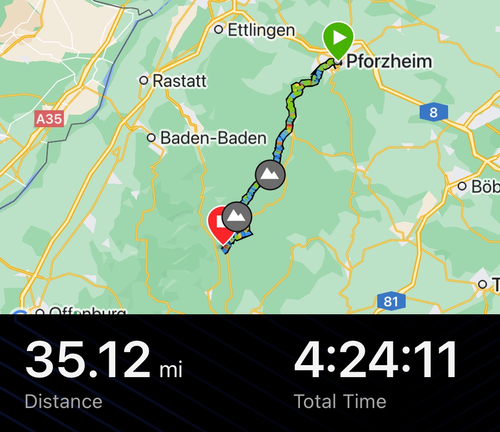
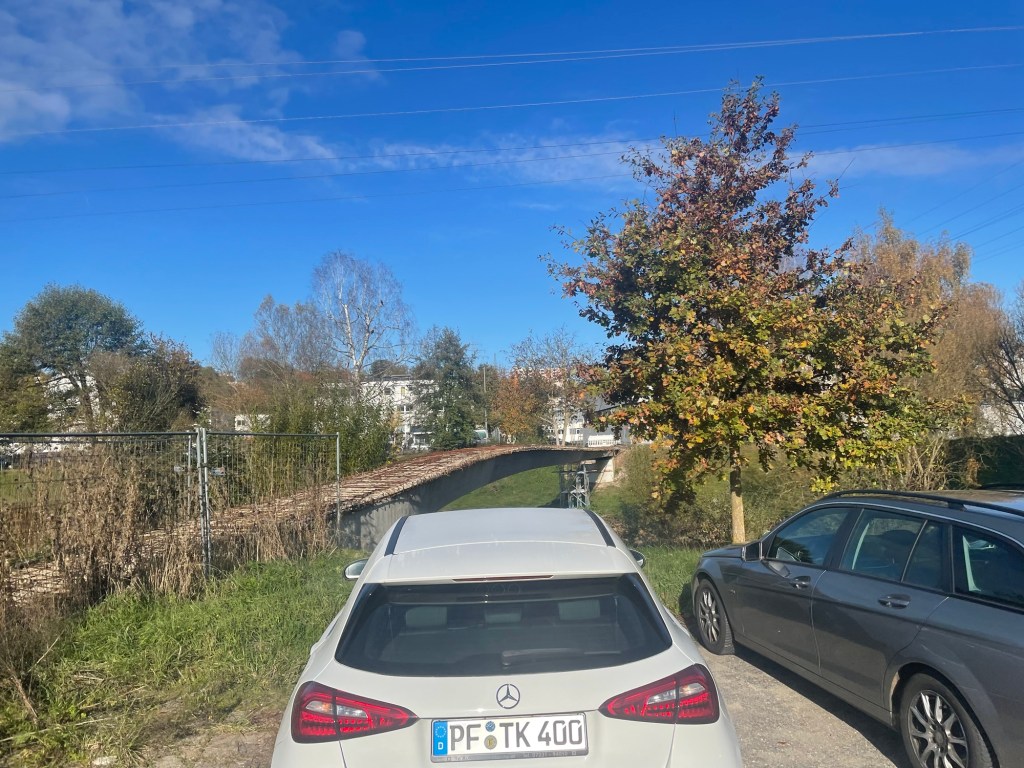
We left in yet more glorious sunshine and headed south west out of Pforzheim. We started by following the river towards it a source. To begin with path was gently inclined and we were on slightly gravelly tracks. Thick blankets of yellow and brown leaves covered the path in places. Riding through falling leaves was like riding into crispy snowflakes. The dry leaves tapping on your helmet. We occasionally went onto roadside paths but always returned to a more cycle friendly route.
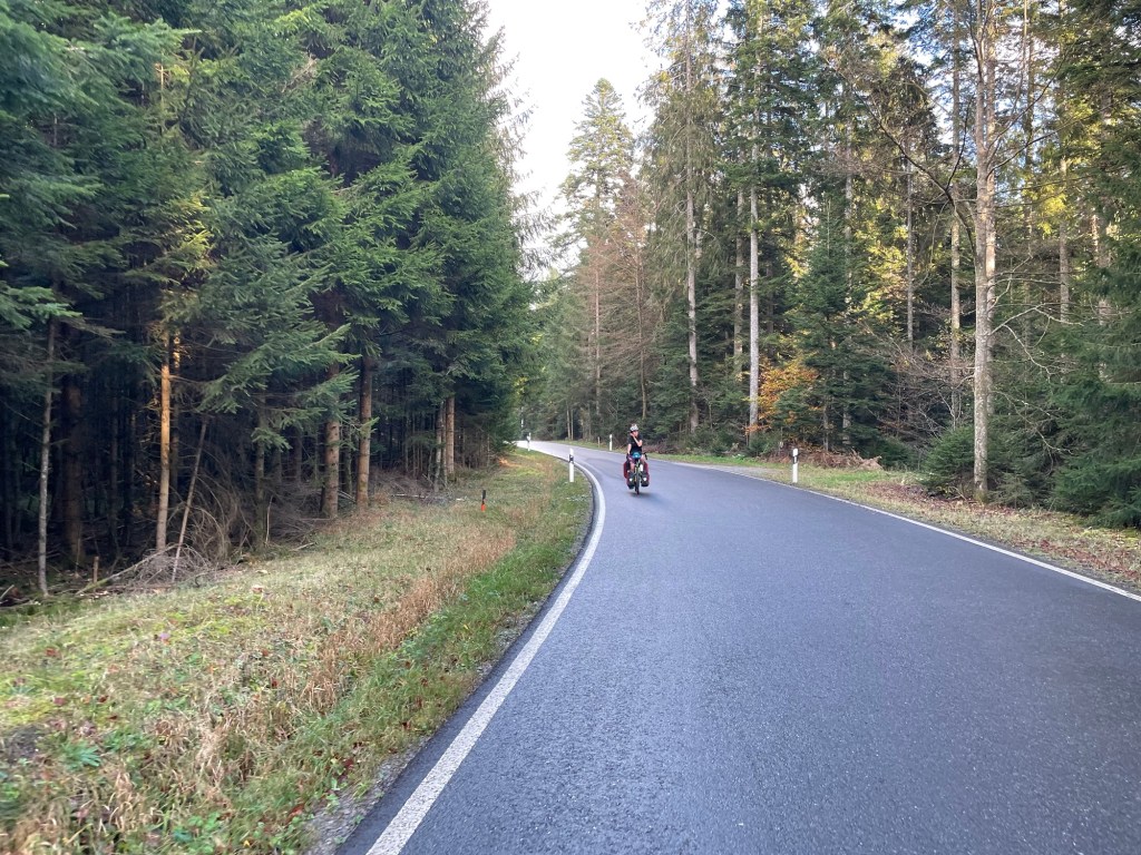
We were riding a route called the Schwarzwald Panorama Radweg. It is supposed to take you up high in the forest and expose you to some good views. We weren’t sure how much elevation there would be or how we would manage it with such heavy bikes. So far so good. It was taking us gently up, but the Garmin, which likes to provide data on these matters with its ClimbPro screens, knew there were some steeper longer climbs coming.
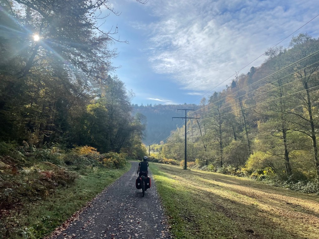
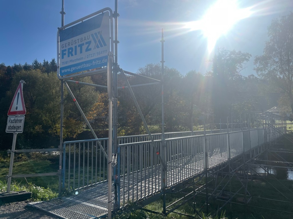
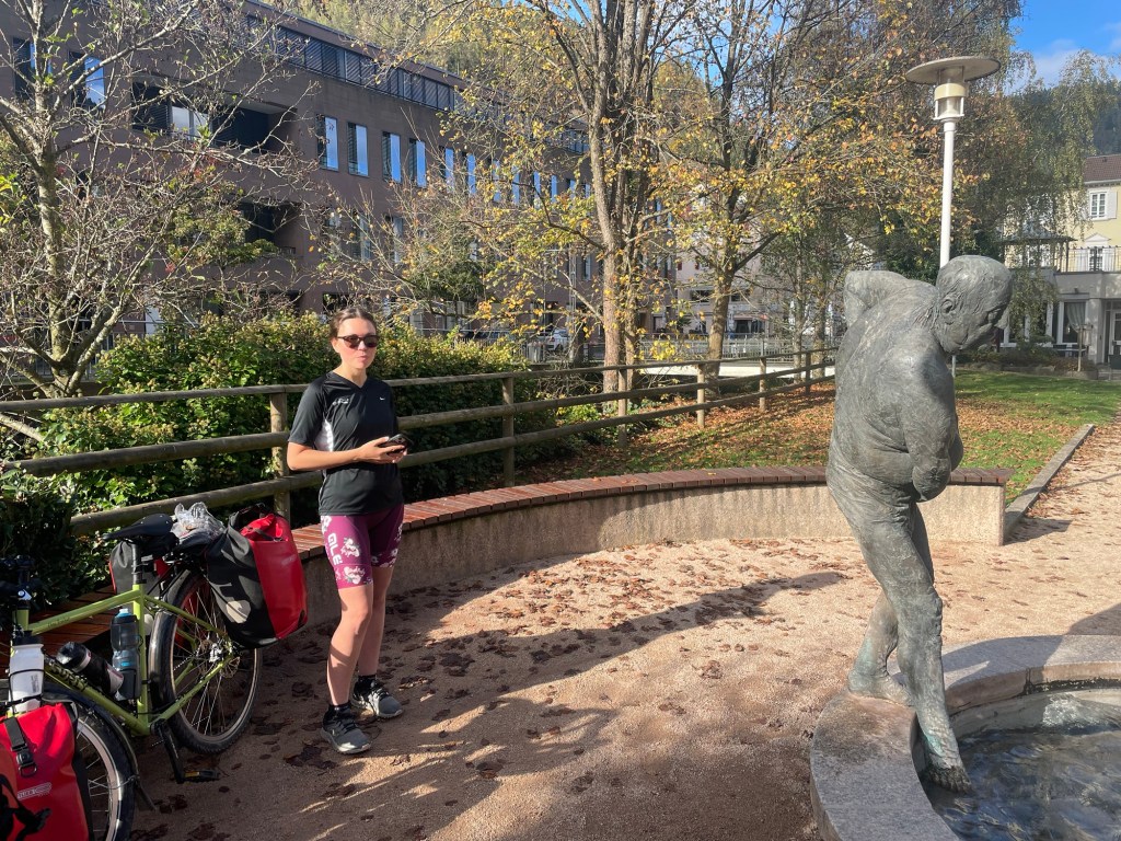
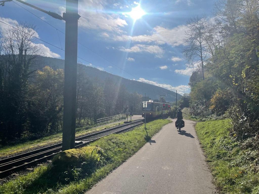
Because we were next to the railway we knew it couldn’t be too steep. We climbed up and around it but kept coming back to its safe gradients. We paused in Bad Wildbad for some flapjack. This was the end of the tracks and surely the path would get steeper now. We knew the route would go high and stay high, panorama after all.
There were no safety barriers or fences or a huge fanfare to cross the railway. Network rail would scream given their desire to shut every single level crossing despite the effect on the footpaths and cycle routes. It wasn’t remotely unsafe to us.
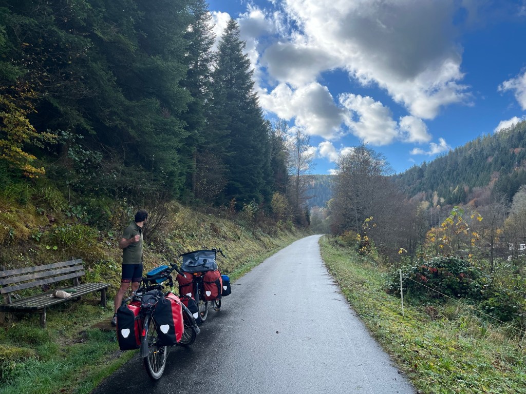
There were two steep climbs to come. The first was considerably easier than the second. A nice cycle path and a fairly straight ascent with a steady gradient. It made us feel a little more secure.
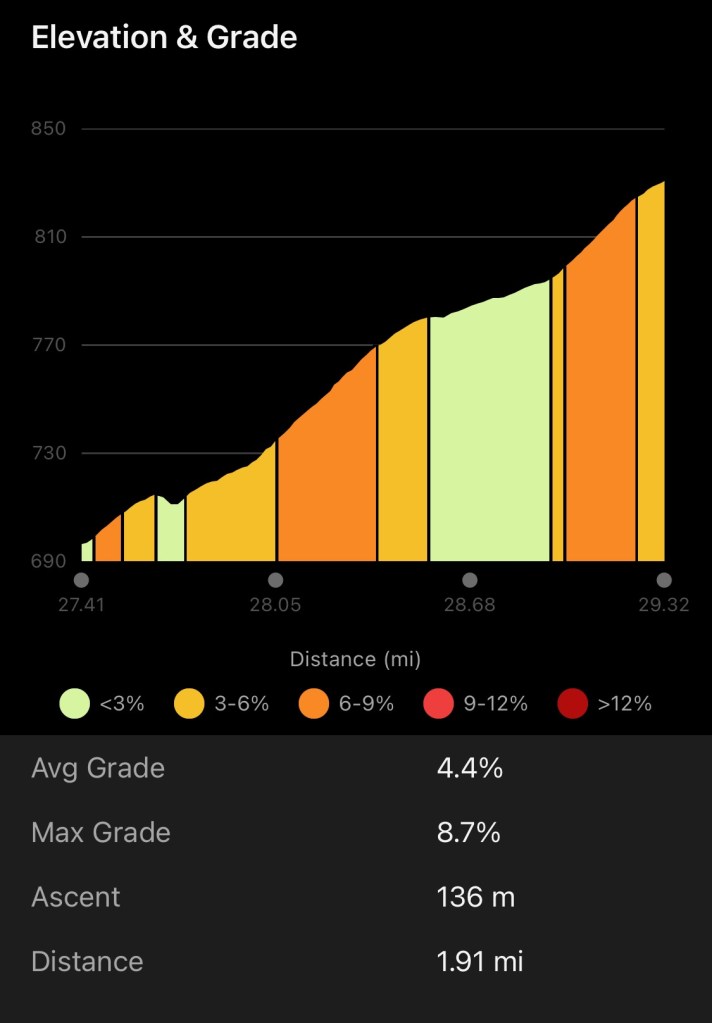
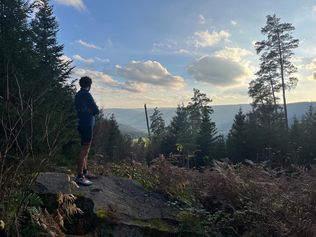
The second climb however was not only confusing as the signs for the panorama path went a different way (not wanting unnecessary detours we stuck to the GPX file we’d found – maybe the route was changed for safety), it was also a long winding climb on the road with several, fortunately slow and wide passing, trucks and a bus. As we reached the top of the road, the path went onto a gravel track! It continued climbing up to some wind turbines before flattening out.
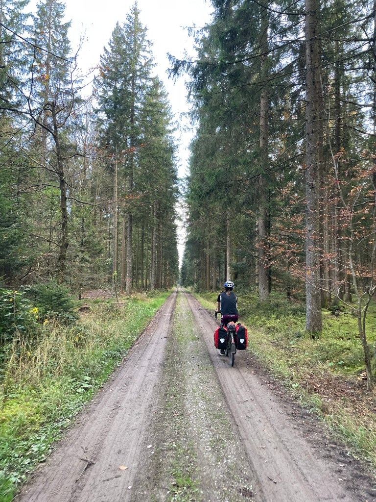
We considered finding a campsite here but decided, perhaps unwisely, that we hadn’t had enough. We continued on and down a muddy track in the forest. It eventually chucked us out on to the slickest darkest tarmac you’ve ever seen. Like a racetrack. It was colder and we only saw one car as we snaked through the forest.
We’d decided to head to the next piece of forest to camp. Though we contemplated a weird flat land on the outskirts of a town. Looking at the map there appeared to be a nice little piece of history. Another könig (king) thing. After a short jaunt down a small path there it was. A group of stones and the remnants of a building. Views opened onto the valley bellow.
It was the right time to light the stove and make the couscous with tomato paste, red onion and curry spices. We added tofu of course. There was enough time to make tea too before dark. We chose to place the tent on a slightly sloping area close to a wood ants nest. Not the best but we didn’t want to block the path.
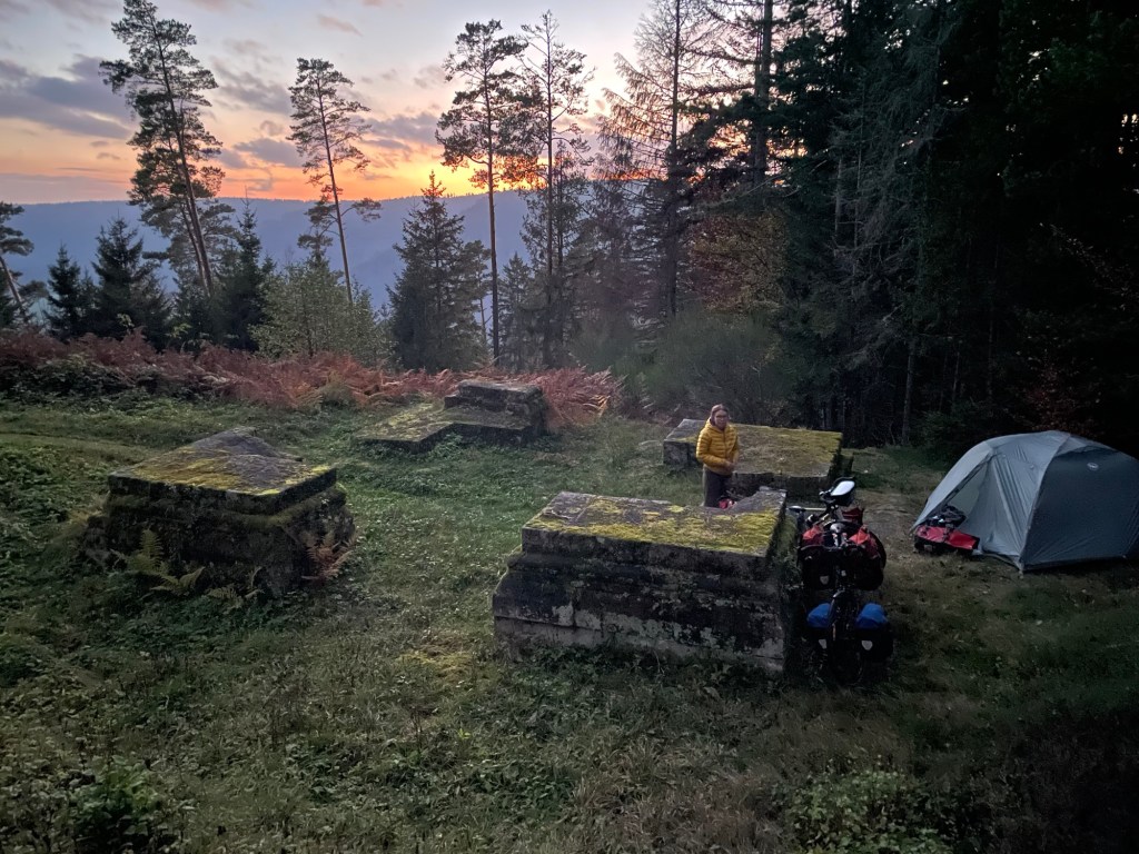
The light faded quickly. We huddled in the tent as the temperature dropped with some speculous biscuits and some shoko-liebkuchen. We’d randomly managed to buy a jar of kirsch (cherry) marmalade from an honesty box enroute. It was actually on a hill so a good excuse for a rest break.
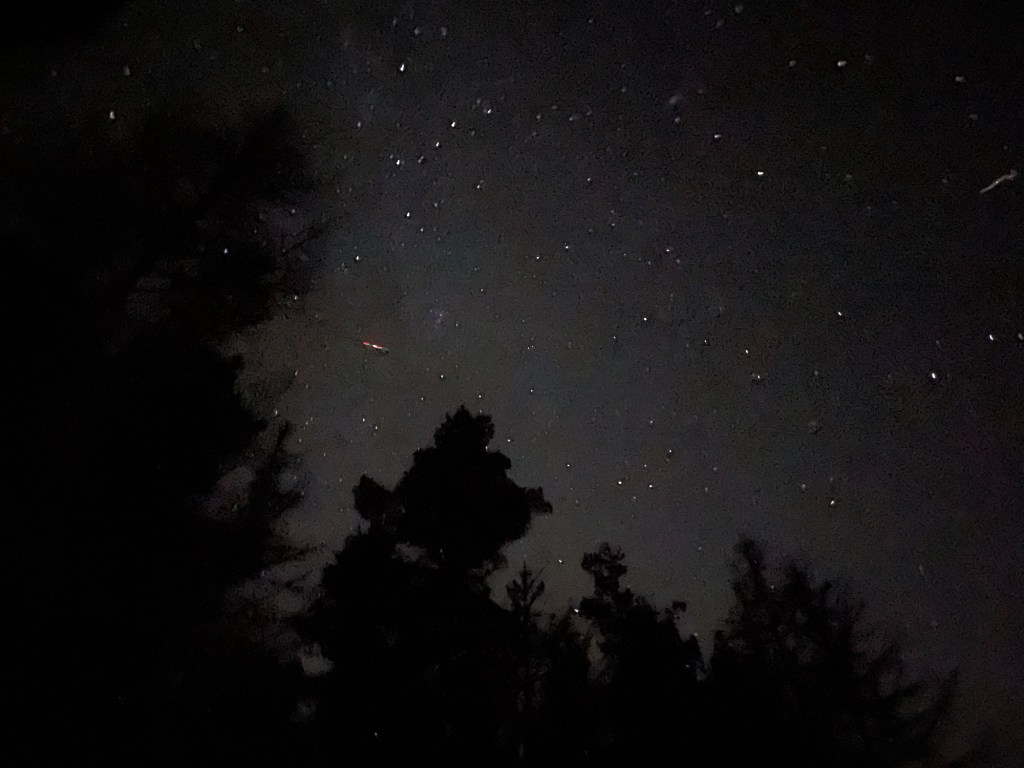
We were high up tonight. Around 800m. We weren’t sure how cold it would get and whether we’d be warm enough. The sky however was beautiful.